


Staff Reporter
COMMUNITIES in the Zambezi Region are urged to remain vigilant as the Zambezi River continues to overflow, with a water level of 6.75 metres recorded on Thursday morning, 12 March 2026.
“The river has now overflowed its banks and water is spreading into the eastern Zambezi floodplains. A flood alert is therefore advised for the eastern Zambezi floodplains. Communities are advised to remain on high alert and activate flood preparedness and response measures,” the Hydrological Services warned.
Although the water level of the Zambezi River at Katima Mulilo dropped slightly from 6.79 metres on Wednesday to 6.75 metres on Thursday, it remains significantly higher than levels recorded during the same period in previous years. According to Namibia’s Hydrological Services, the river measured 2.30 metres on 12 March 2025, 1.58 metres on 12 March 2024, and 4.94 metres on 12 March 2023.


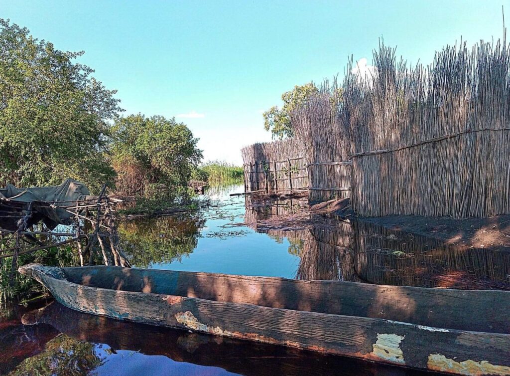
CAUTION: Photos show recent flooded areas near the Zambezi River. Photos: Facebook (Aron Mushaukwa).
The river’s recent rapid rise took place in a matter of days. Within just ten days, the water level rose from 3.63 metres, recorded on 2 March, to the 6.75 metres on Thursday, 12 March. Hydrological Services therefore urged continued caution, warning that the rapidly rising river poses significant safety risks.
The Hydrological Services also reported that the Okavango River at Rundu recorded a slight decline, dropping from 6.73 metres on Wednesday, 11 March 2026, to 6.72 metres on Thursday, 12 March 2026, although it remains higher than the 6.29 metres recorded during the same period last year.
Meanwhile, water levels along the Lower Orange River also decreased. The Orange River at Blouputs fell from 2.46 metres on Wednesday to 2.43 metres on Thursday, while the Orange River at Sendelingsdrift recorded a drop from 2.57 metres to 2.53 metres over the same period.
Nonetheless, the Hydrological Services still called for flood mitigation, preparedness and recovery plans to be activated for the Okavango River, the Lower Orange River, and other flood-prone areas.
“It is strongly recommended that multi-hazard contingency plans for flood risk mitigation, preparedness and recovery be activated in flood-prone areas across Namibia. Flood-prone areas in Namibia include the Cuvelai–Etosha Basin, the Okavango River and its banks, the Zambezi River banks and eastern Zambezi floodplains, the Lower Kuiseb Catchment, the Hardap–Mariental area, the Lower Orange River, and the Kunene River,” the Hydrological Services urged.


