
Staff Reporter
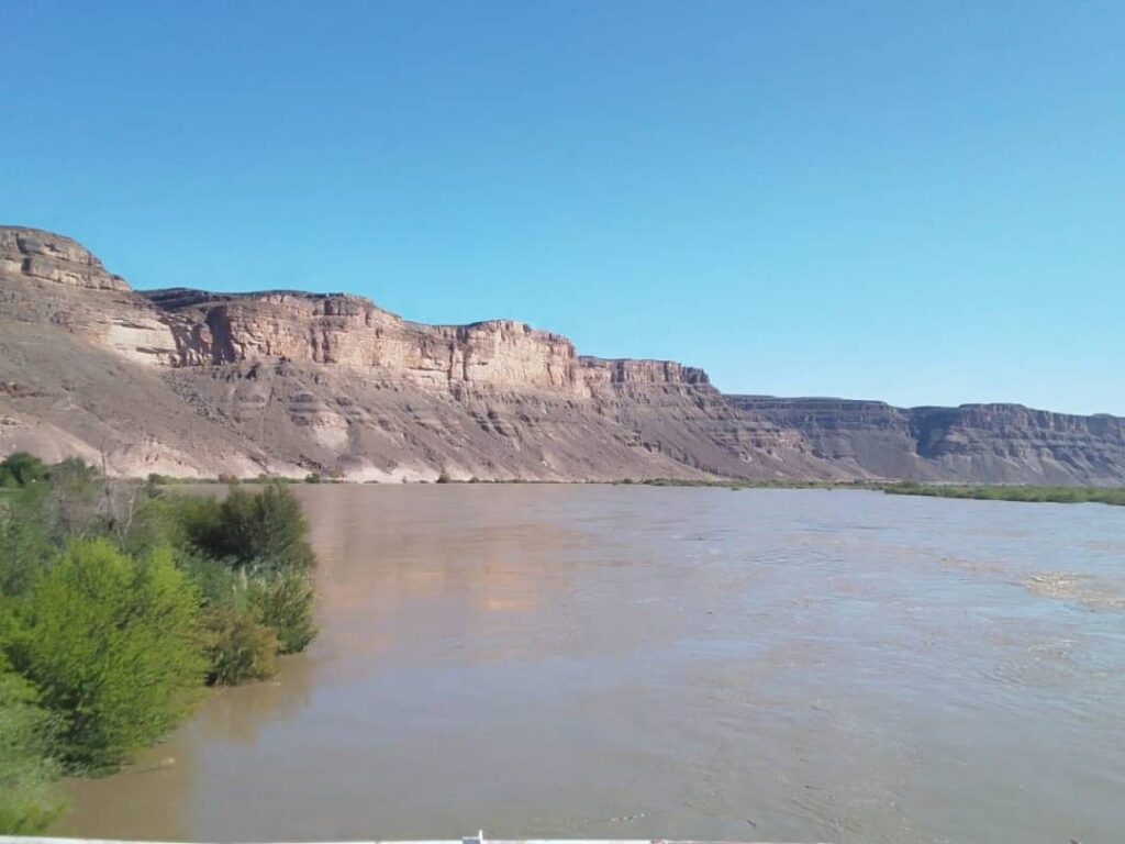
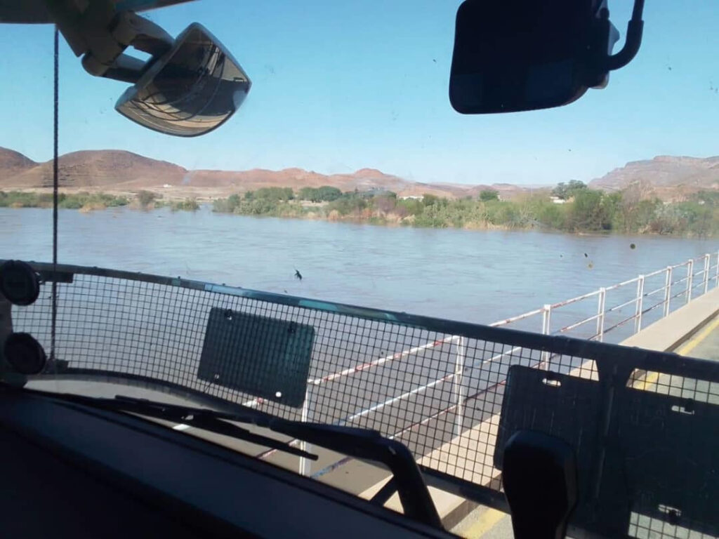
THE Lower Orange River has risen by more than 3 metres within a week at both Blouputs and Sendelingsdrift, where water levels have now exceeded the 5-metre mark.
According to the Hydrological Services of Namibia, the water level at Blouputs stood at 6.19 metres on Tuesday, 6 May 2025, up from 2.92 metres recorded on Tuesday, 29 April 2025. A similar increase was observed at Sendelingsdrift, where the river’s level rose from 2.66 metres to 5.86 metres over the same period. This significant rise is attributed to inflows from major upstream dams in South Africa.
“Water levels in the major dams in the Vaal–Orange River System are currently high. The Vaal Dam is at 109.9% of full capacity, with two or three sluice gates open and an outflow of 307.0 m³/s. Bloemhof Dam is at 107.1%, with a higher release of approximately 801.2 m³/s. Both the Gariep Dam and Van der Kloof Dam are recorded at 104.8% and 106.5% of capacity, respectively, with corresponding outflows of 862.6 m³/s and 971.9 m³/s,” the Hydrological Services of Namibia explained.
Flows in the Lower Orange River are expected to remain high in the coming weeks, with further water on the way due to continued overflows and releases from the upstream dams. Communities near the Orange River are therefore advised to exercise caution.
The Oranjemund Town Council has announced that access to the Orange River, including approaching the riverbank, is strictly prohibited given the rapid rise in water levels.
“Under no circumstances is anyone permitted to enter the river or engage in swimming activities. Access to the river and the surrounding flooded areas is strictly prohibited due to hazardous conditions. The Council urges all residents and visitors to avoid accessing the riverbanks and river. Approaching the riverbank is also prohibited, as the ground is highly unstable and may collapse,” the Oranjemund Town Council warned.
Road users are also advised to be cautious when using roads near the Orange River. The Roads Authority (RA) has confirmed that its regional teams are actively monitoring the condition of roads near the river, including the Oranjemund–Rosh Pinah Road, in case rising water levels render it inaccessible.